Problem and task.
During the project, we encountered several tasks that required completion. The primary objective was to obtain an accurate Digital Terrain Model (DTM) and Digital Water Model, as it was essential for the water surface to be perfectly level. LiDAR surveying provided insights into the actual conditions of the coastal borders, which we couldn’t obtain from ortho or aerial surveys.
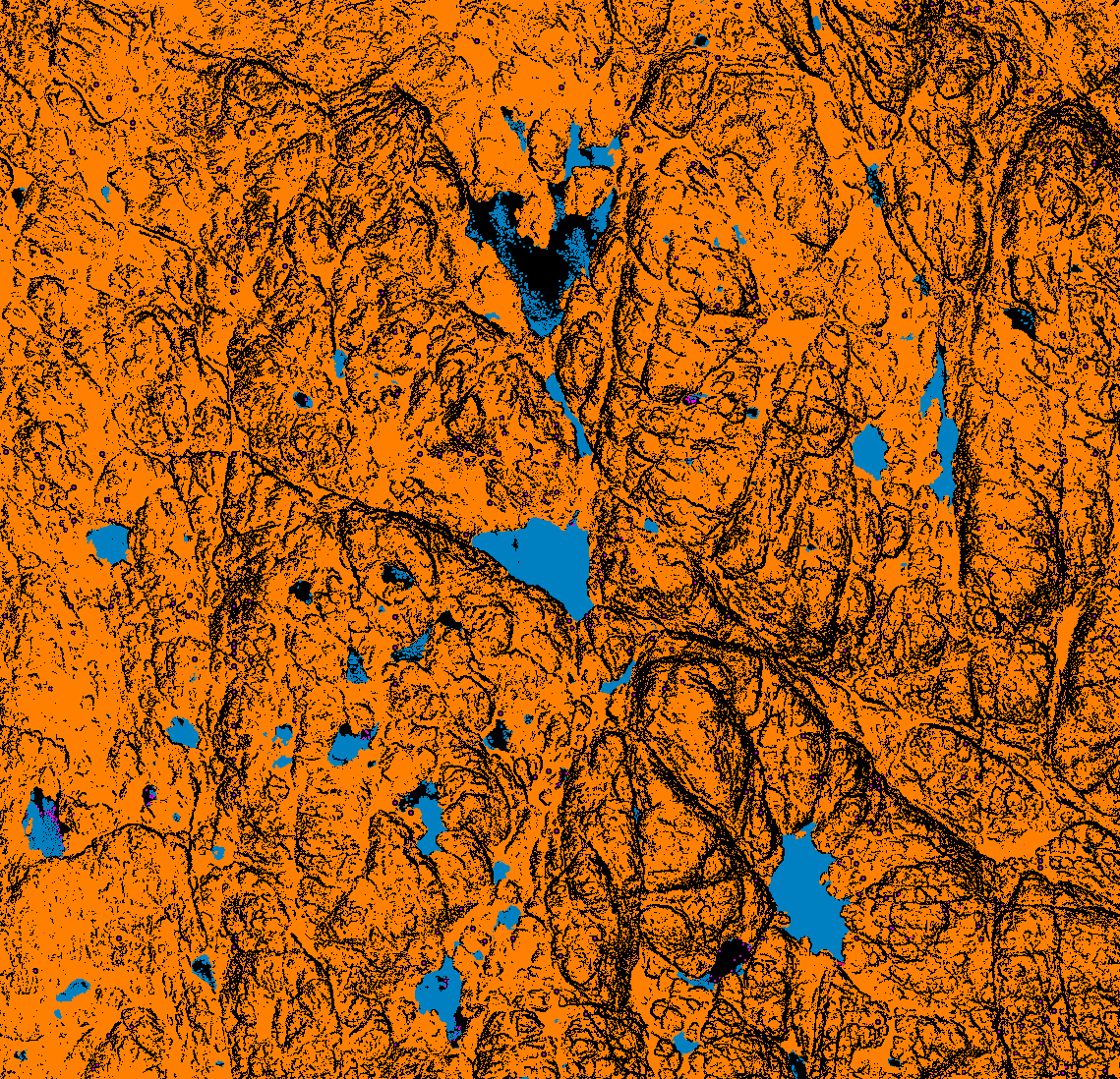
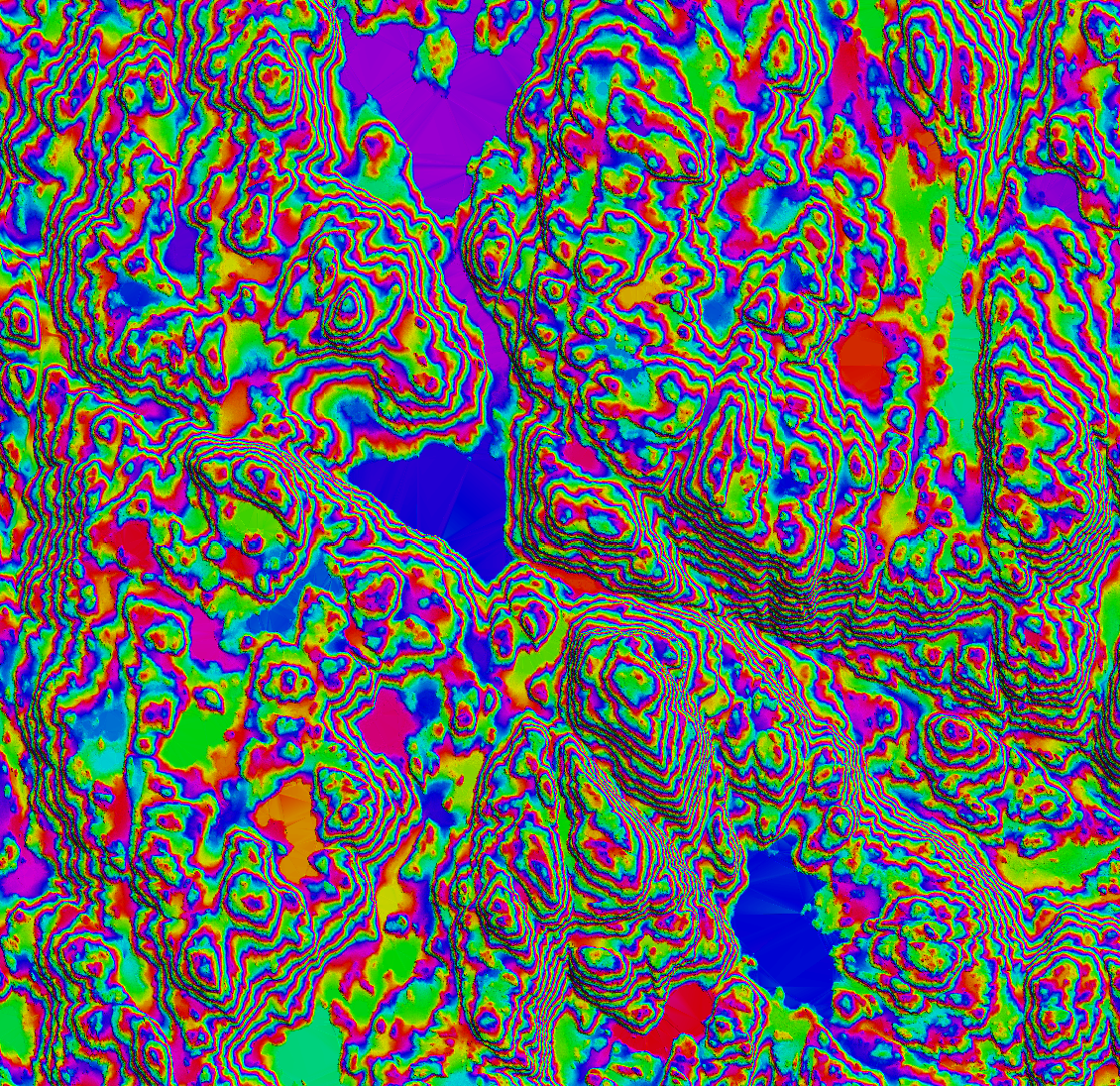
- Ground Point Processing: The terrain included mountains, and large portions of the point cloud data represented vegetation rather than the ground. To expedite the processing, we utilized macros for ground point cloud restoration. The final step involved checking the quality of the DTM.
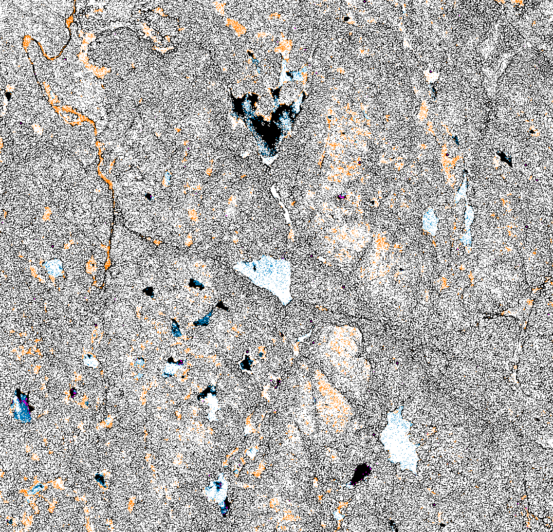
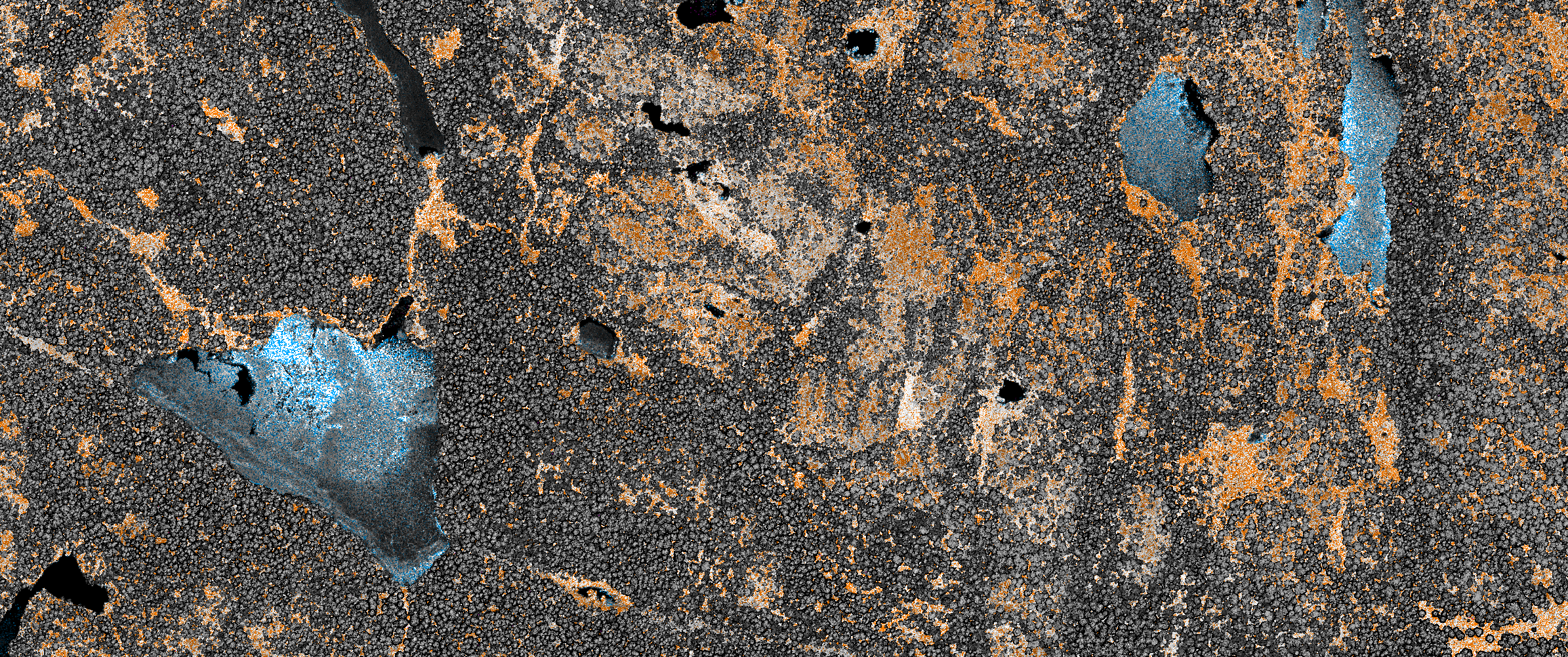
- Water Classification: Our approach for classifying water involved examining the point cloud intensity and the terrain model to accurately identify water areas. This step was crucial for drawing water vectors. After classification, we assessed the quality of the water surface.
- Bridge and Power Line Classification: For this, we extracted the point cloud data from lower elevations and then classified these points under class 1. Additionally, all bridge decks were classified as class 17.
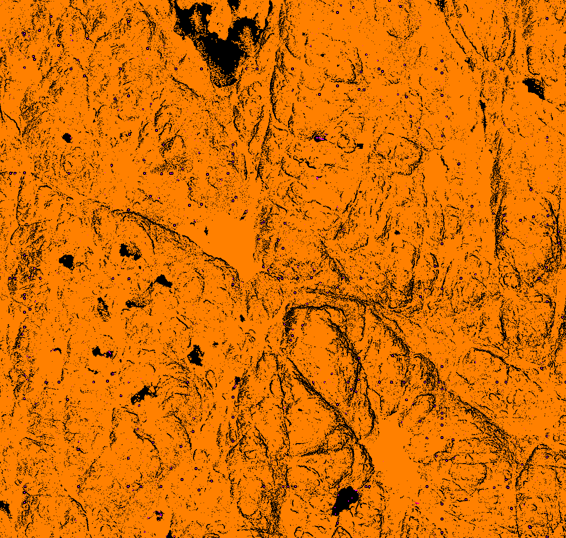


Realization.
Processing mountainous terrain is notably more challenging than handling flat surfaces. One constant challenge is balancing a tight budget with the need for swift processing, especially when the area spans over thousands of square kilometers. Drawing from both our expertise and that of our partners, we identified methods that allowed an average team speed of 3 km per hour per person.
A primary technical hurdle was using Terrasolid tools for ground point cloud restoration in mountainous regions. Many of these tools struggle with complex terrains, compromising the quality of the output. The creation and implementation of custom macros proved invaluable in overcoming this limitation, ensuring both efficiency and quality.
Water classification can be a daunting task for teams inexperienced with such terrains. However, we’re well-versed in tools tailored for classifying mountain rivers and lakes. Our approach typically involves drawing polygons or line vectors, and then classifying the water point cloud based on these vectors.
QC. Upon completion of the processes, we generated separate *.las files for water, low points, and ground. This segmentation method facilitated consistent quality checks between blocks and ensured the absence of power lines from the low point data.
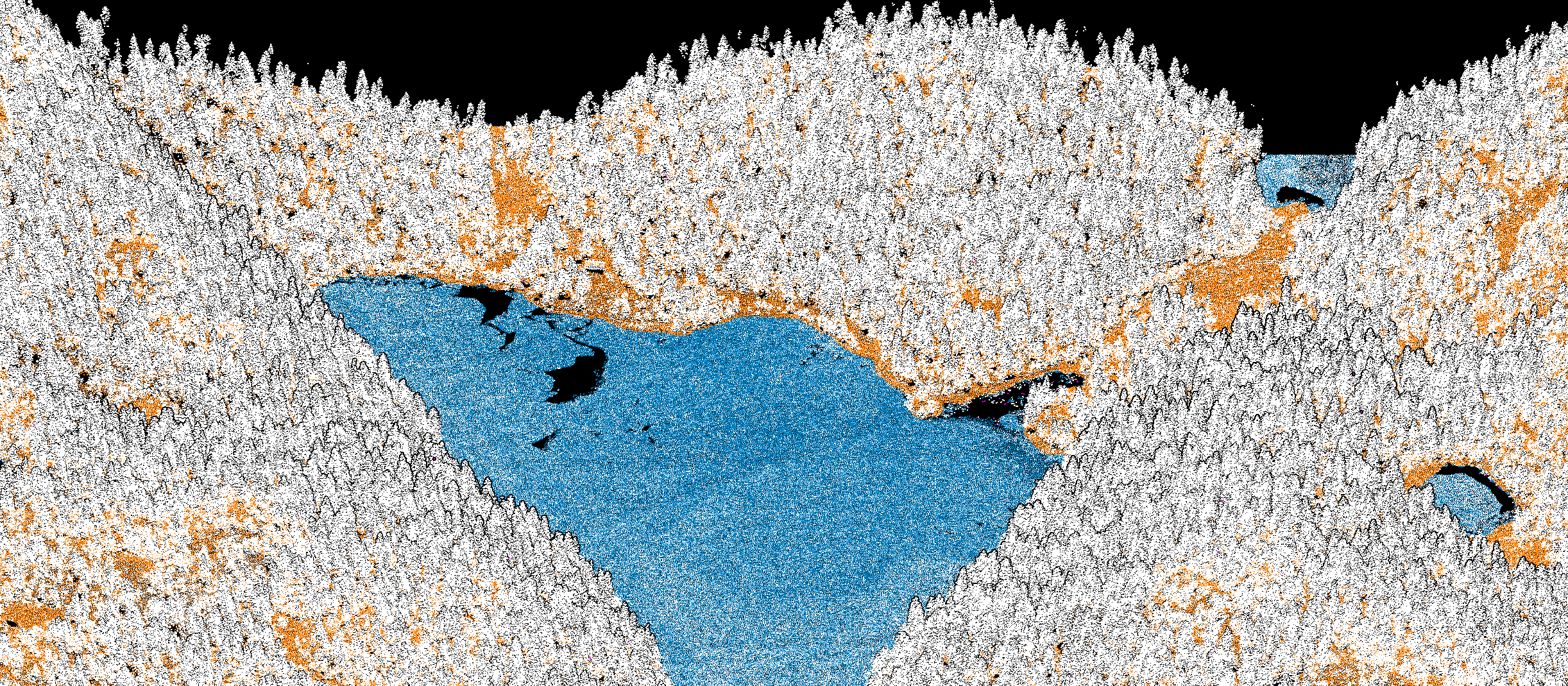

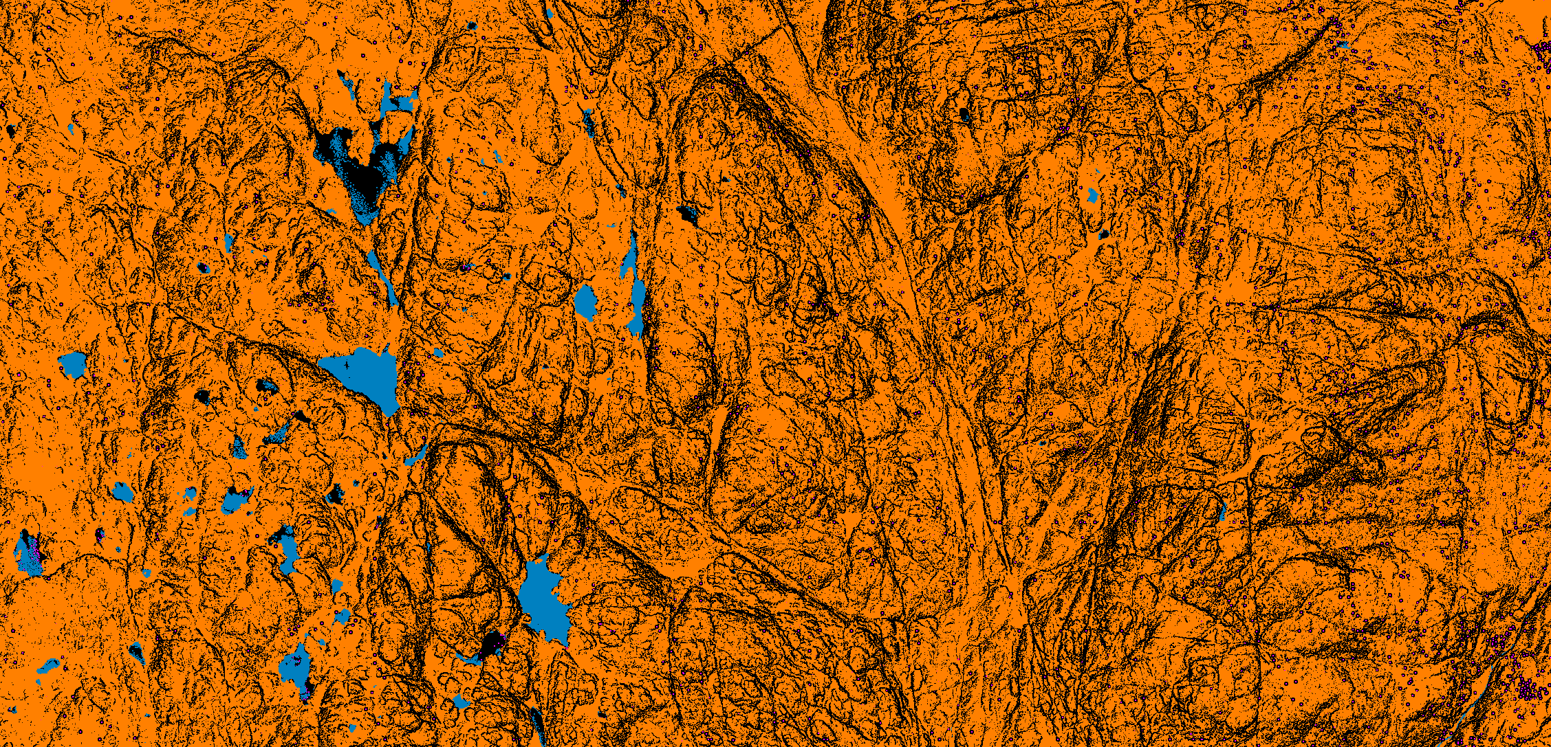

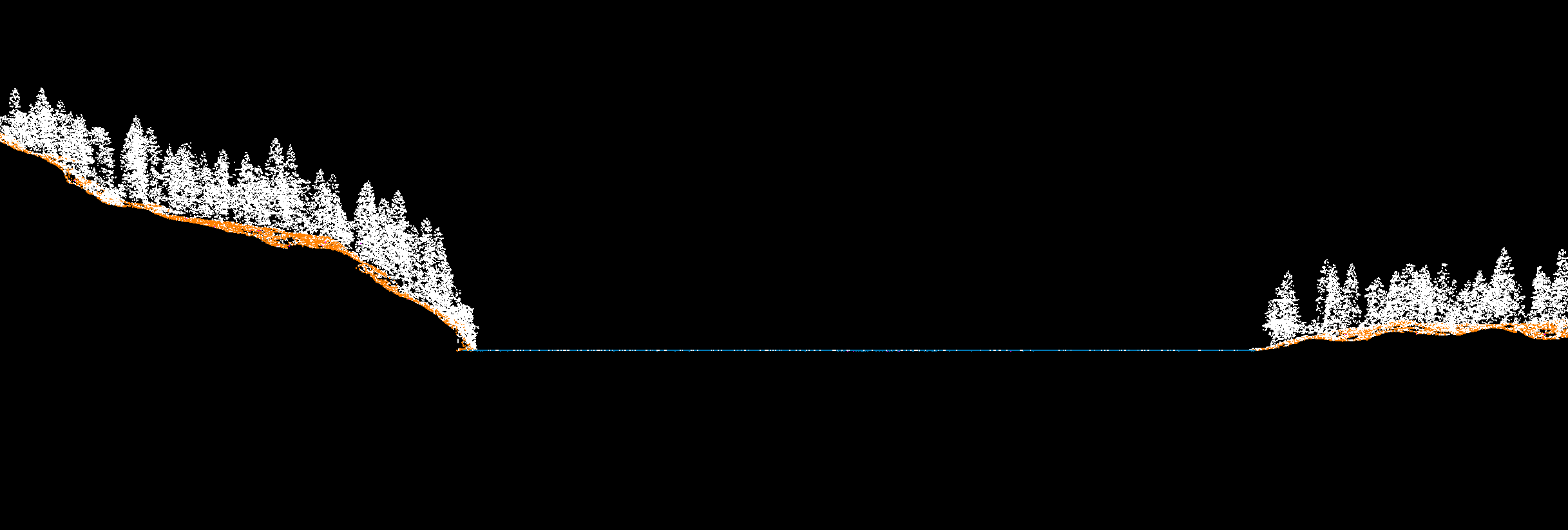

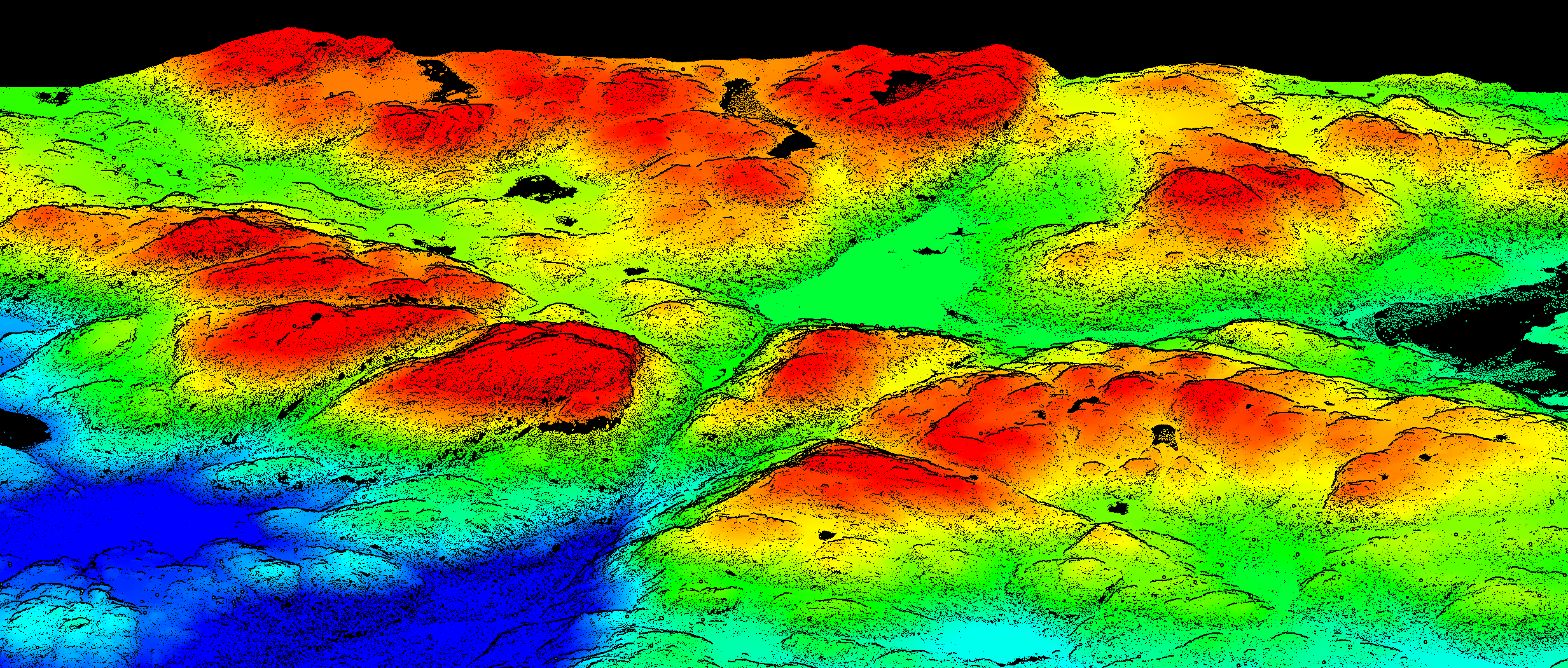


Result.
The project was an intricate endeavor to capture a comprehensive understanding of the terrain and water surfaces using LiDAR surveying. Our primary goal was to develop accurate Digital Terrain and Water Models, ensuring the latter remained perfectly level, reflecting the real-world requirement for water surfaces. By leveraging LiDAR’s capabilities, we overcame the limitations of traditional ortho and aerial surveys, especially in capturing the genuine conditions of coastal borders. Critical tasks, such as ground point processing in mountainous and vegetated terrains and water classification based on point cloud intensity, were meticulously executed. Additionally, we classified specific features like bridges and power lines into their respective classes to enrich the dataset. The realization of this project not only demanded technical proficiency but also a deep understanding of the natural environment and its features.
We have the capacity to process over 1,000 km monthly. We’re continuously open to new projects and opportunities. Please consider sending us a pilot project to evaluate the quality of our services. Don’t hesitate to drop us a message right here.